A run of northerly and northwesterly winds is bringing warmer conditions to Australia towards the end of this week, and they will arrive soon in New Zealand as well.
 |
| Falls Creek 19.08.15 [Source: Falls Creek FB page] |
AUSTRALIA
It was mainly fine again over the weekend. A few snow showers fell on Monday and Tuesday then the weather cleared again.
The next few days look like rain, sadly, except for the highest peaks.
Mt Buller
Twenty lifts running now at Buller. Only Boggy Creek and Federation not running. Snow depth: 74cm
All lifts running at Hotham, including Blue Ribbon and Orchard. Snow depth: 106cm
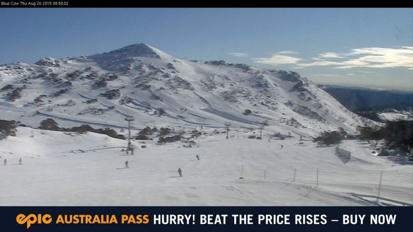
Falls Creek
And all lifts running at Falls Creek. Snow depth: 106cm
 |
| Perisher 20.08.15 [Source: Perisher FB page] |
All 46 lifts are running at Perisher. where it has been a gloriously sunny day judging by the webcams.
Thredbo
All 14 lifts operating at Thredbo.
NEW ZEALAND
A windy start to the week with most resorts closed on Tuesday. Some snow arrived on Tuesday, favouring some resorts while others missed out.
It will be mainly fine and sunny through the weekend. Early next week looks the go for some more snow.
North Canterbury and Nelson
Rainbow received 20cm midweek - Snow depth 50/75cm
Hanmer Springs got rain so has closed again - Snow depth 15cm
Mt Lyford - Snow depth 55cm
 |
| Mount Dobson 17.08.15 [Source: Mt Dobson FB page] |
Canterbury
Porters - Snow depth 90/140cm
The Mackenzie
Ohau received 30cm into Wednesday - Snow depth 100/170cm
Roundhill - Snow depth 70cm
Mt Dobson - Snow depth 100cm
Wanaka
Treble Cone got 30cm (more in the Saddle) on Tuesday - Snow depth 108cm (top of the Home Basin)/200cm,
Cardrona received 10cm midweek - Snow depth 65/200cm
Queenstown
Coronet Peak received 5cm midweek - Snow depth 75/165cm
The Remarkables received 5cm as well - Snow depth 115/165cm
No comments:
Post a Comment